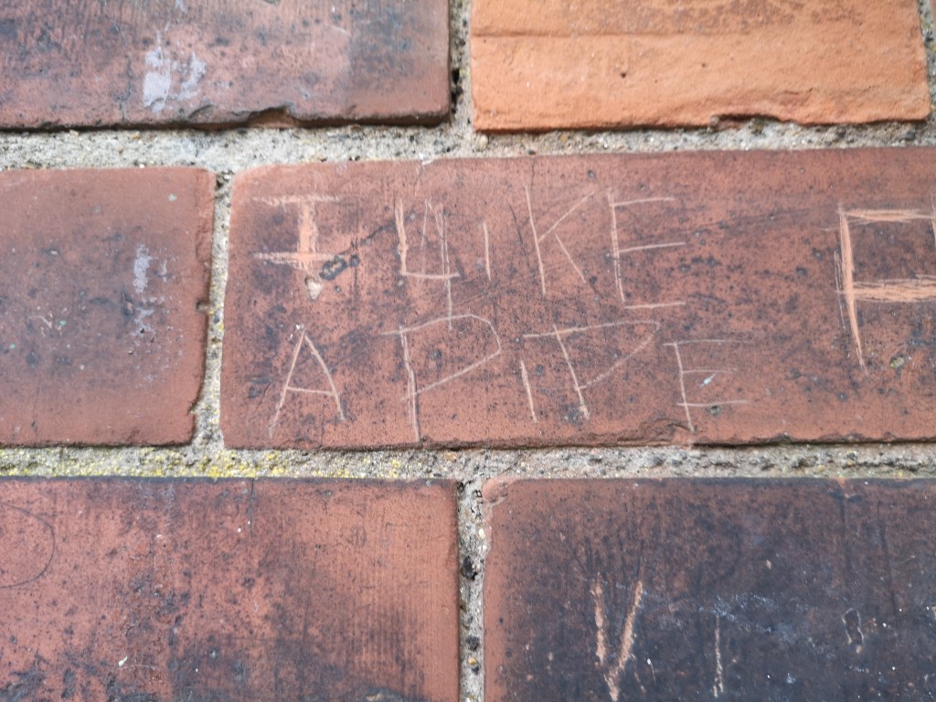

If you live in North London, or know it reasonably well, then you’ll no doubt be familiar with ‘the New River’. Stretching from beyond London in Hertfordshire, through Chadwell, Cheshunt, Waltham Abbey, Enfield, Palmers Green, Wood Green, Harringay, Finsbury Park and ending in Stoke Newington; the New River winds through North London, following a similar path to the ‘London Loop’ rail line, occasionally disappearing underground, and resurfacing again, before vanishing again. What’s the story behind this mysterious ever-present waterway?
Well, quite simply, the New River is neither ‘new’ or a river. It’s over 400 years old and was constructed in the early 17th century to provide fresh drinking water for London. London has a long history of difficulties with access to drinking water, particularly in the 18th and 19th centuries as industry caused a population explosion in the capital. This increase meant more waste in rivers, and more chance of polluted wells and water pumps from the ever-growing cemeteries…but that’s another story for another time!
Throughout the Middle Ages, Londoners got their water from rivers, wells, springs and public fountains. However, by the Elizabethan period, London was growing and the need for a clean water supply was becoming apparent. Other alternatives had already been devised; in 1582, a water pump designed by Peter Morice was installed at London Bridge that pumped water to surrounding premises at high tide. However, being limited to a small area and only operational in high tide meant this wasn’t a large scale solution. Something much bigger was needed.
Proposed in 1602 by Edmund Colthurst, the New River was to be London’s first supply of fresh water from outside the city. A six feet wide canal was to be built from a section of the River Lea outside Hertford, stretching through North London (most of which was countryside at this point) into Islington. Colthurst was granted a royal charter in 1604 by James I but unfortunately encountered financial difficulties, and the project was taken over by Sir Hugh Myddelton in 1609, who completed it in 1613.
Being as old as it is, the New River has obviously undergone some changes in it’s 400+ years. Many sections required aqueducts, which were originally wooden structures lined with lead (!) supported by timber and brick. Thankfully, these sections were replaced in the 18th century with clay-banked canals. As London grew outwards, much of the New River was re-routed underground, including in Enfield, where the original route was thankfully saved from being filled in (although it is disconnected from the main supply), and remains as a picturesque waterway running through the Town Park known as the ‘New River Loop’. Not so lucky was a large loop that ran through the Bounds Green area, that was re-routed underground due to the construction of the Wood Green tunnel in 1852 on the London Loop railway line, and was filled in by 1901, and built upon during the 1930s. Other notable changes include the building of the New River Aqueduct in 1985 to carry the canal over the under-construction M25, and most significantly, the changing of its end-point from Islington to Stoke Newington in 1946.
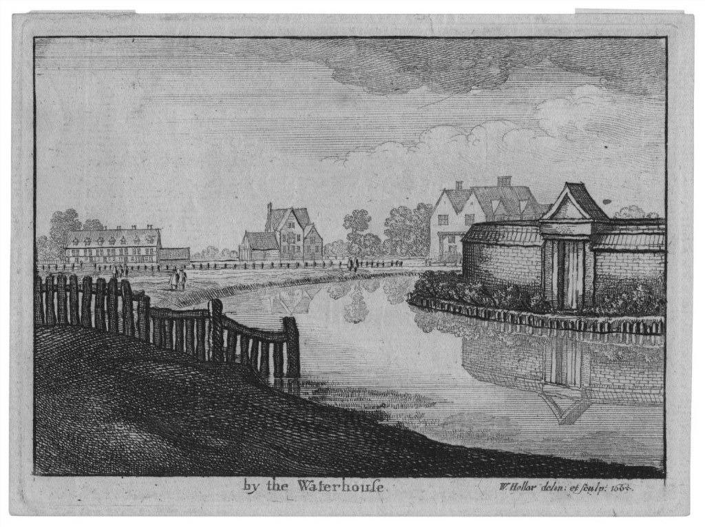
The New River originally finished near Clerkenwell, at what was to be named ‘New River Head’. Here, the New River Company had their head offices, known as the Water House, and there is still a beautiful grade-II listed building dating from the early 20th century at this site, although predictably it is now flats. The New River now finishes at the East Reservoir of the Woodberry Wetlands, built in 1833. The West Reservoir has been converted into a water sports centre.
Time to explore! As the New River is so large (20 miles end-to-end!), I have chosen to explore a tiny section close to my home. I’d love to explore more of this waterway, so this may turn into a series in the future!

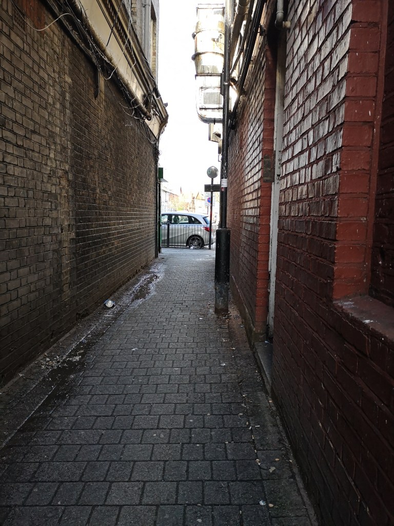
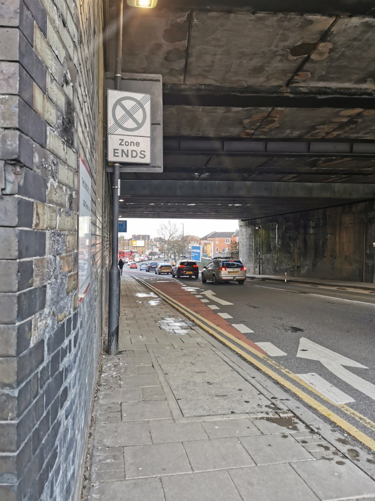
I began my journey at Wood Green Mall, turning off down Alexandra Road adjacent to Boots, before taking an immediate right through Martins Walk, and then onwards down Mayes Road until I reached the pedestrian crossing. I then crossed the road and continued onwards down Coburg Road. I was a little unsure at this point if Google was leading me the right way, as it appeared to be an industrial estate, but before long I found myself opposite the entrance to a tunnel, with signs for the New River Path. Phew!


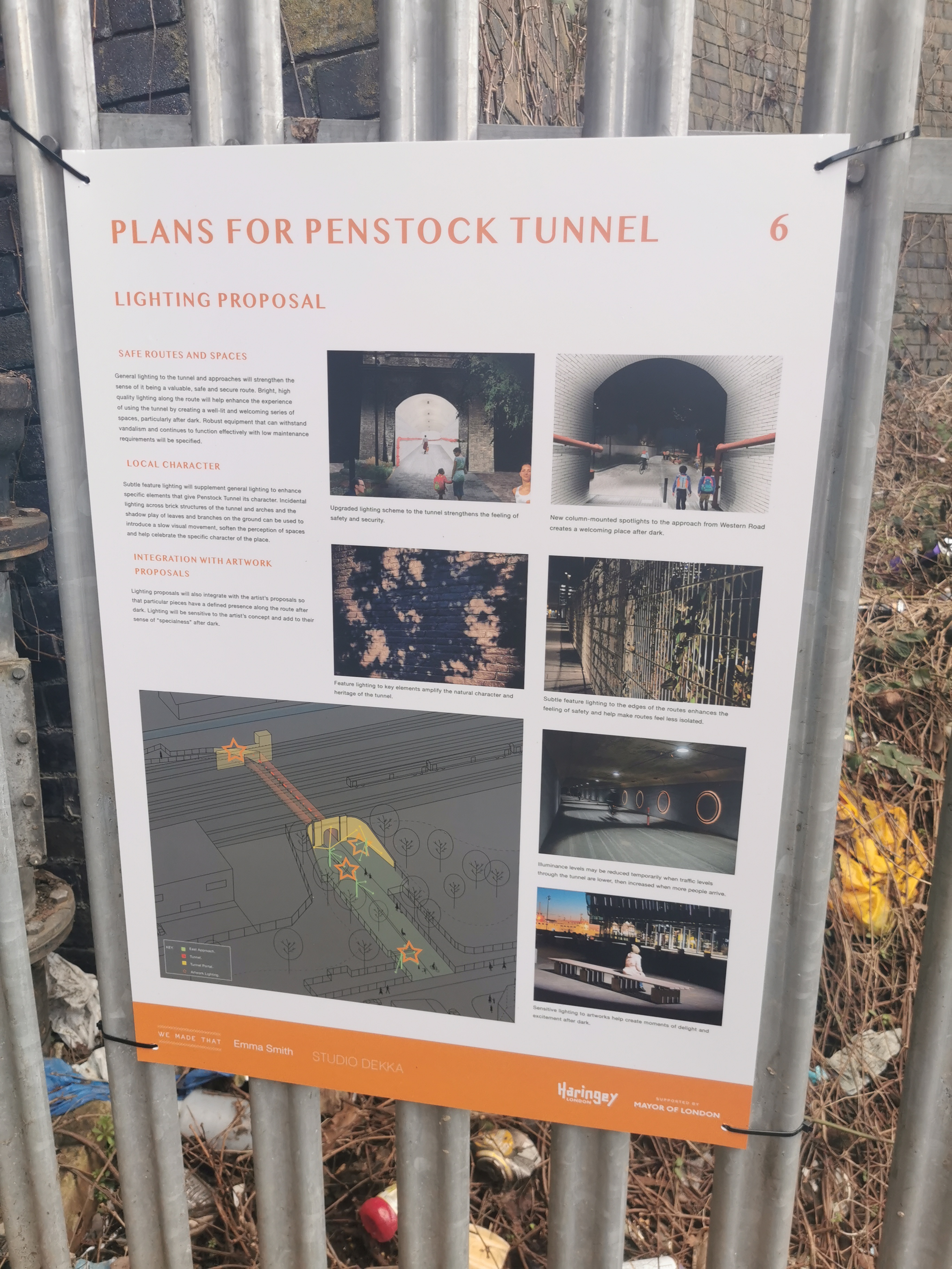

These signs also informed me that this tunnel was called Penstock Tunnel, and there was proposed plans to improve lighting and make it a more child-friendly place, which made me very happy to see! I love seeing councils make great use of space, especially when it has historic significance. Looking forward to seeing how this progresses.
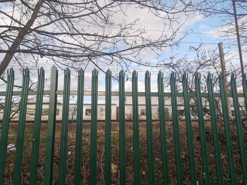
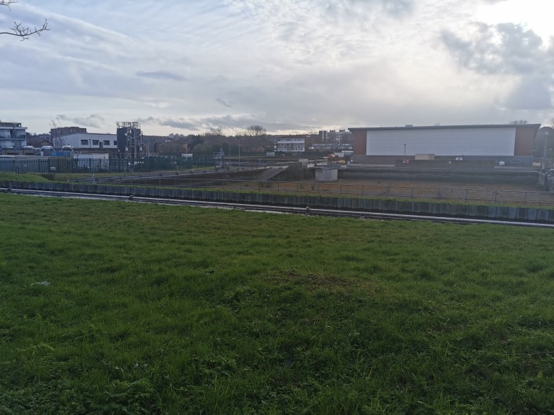
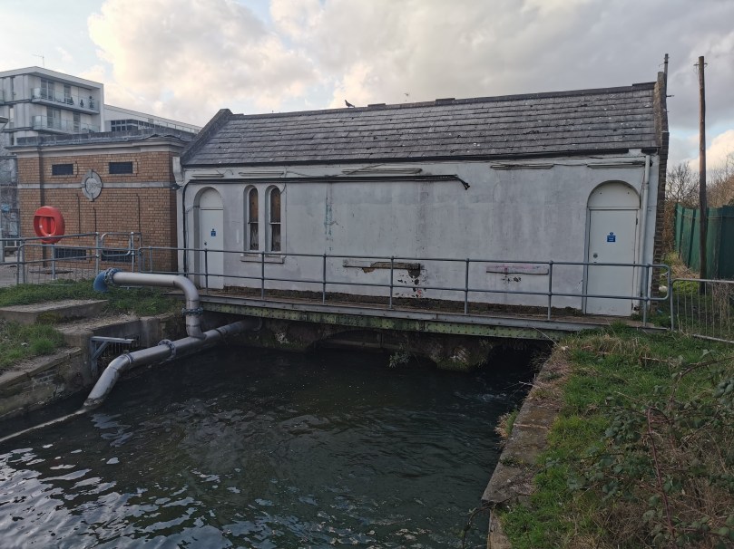
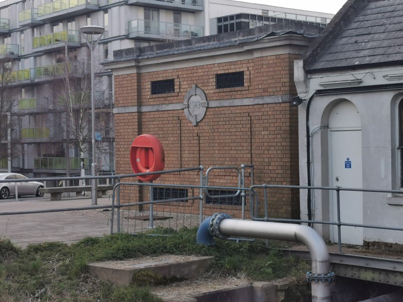
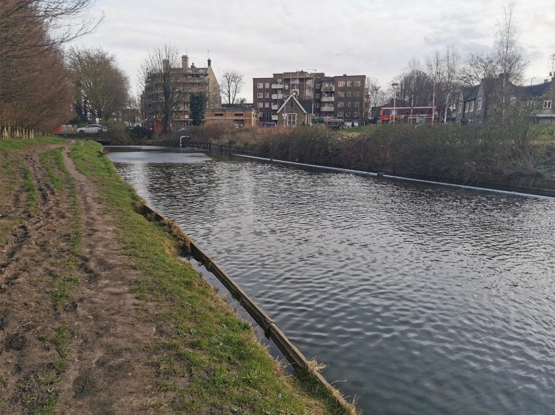
Penstock Tunnel runs under the London Loop railway, before joining the New River on the following side (although the other side of a fence), and running parallel to both – I even managed to get a snap of a passing train! This section of the New River also contains a water treatment plant – Thames Water Hornsey Water Treatment Works. A few minutes walk and the path comes to a gate, where the water treatment plant ends and the fence by the river is removed. This is also the point where turning right will take you across the river and into the northern end of Hornsey, with Alexandra Park immediately to your North – I believe this area is also known as Campsbourne? Feel free to correct me in the comments!


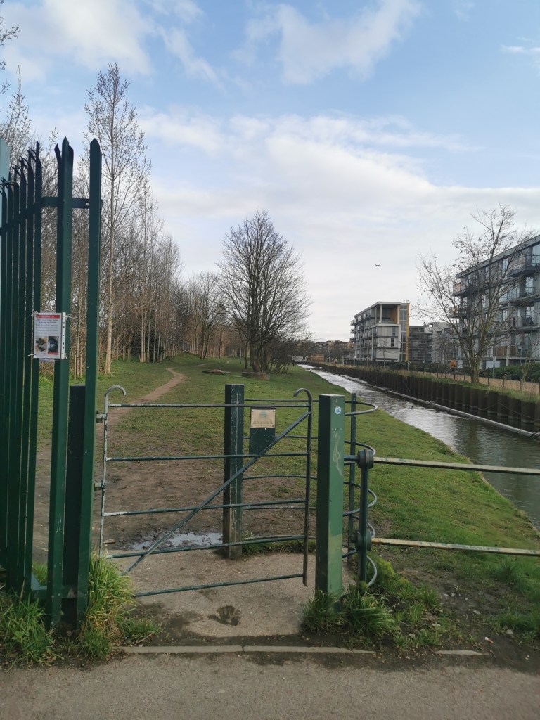
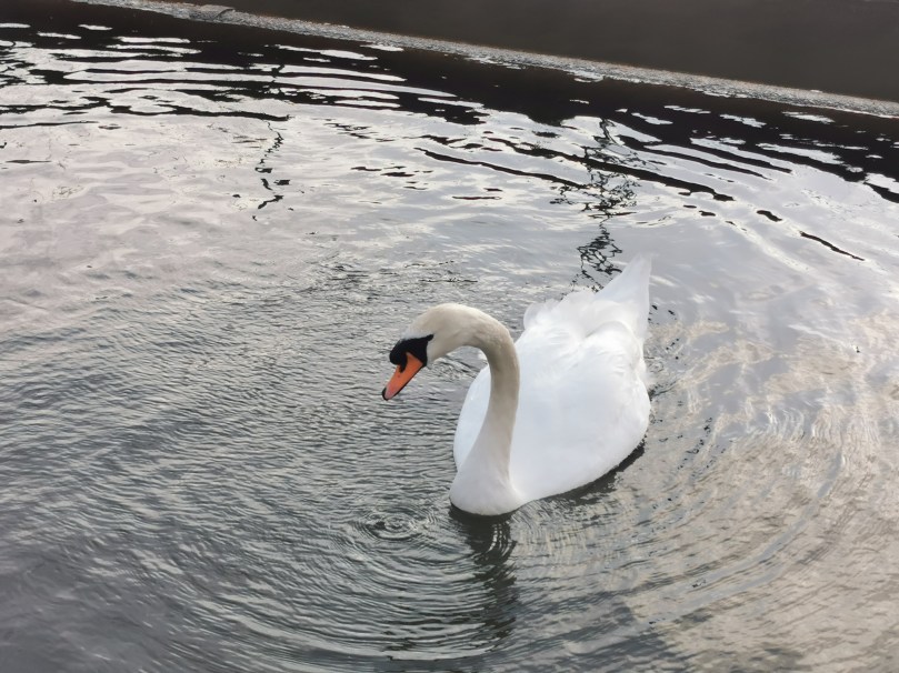
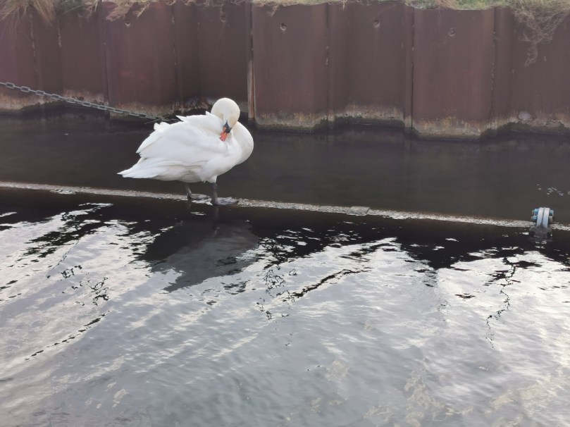
This next section is a pleasant walk alongside the New River, with some modern apartments on the opposite side. There were a few dog walkers along this route, and I also met some wildlife! It’s a very peaceful little walk, despite the regular rumble of passing trains – although maybe I’ve just lived in London long enough now that I don’t notice this anymore!


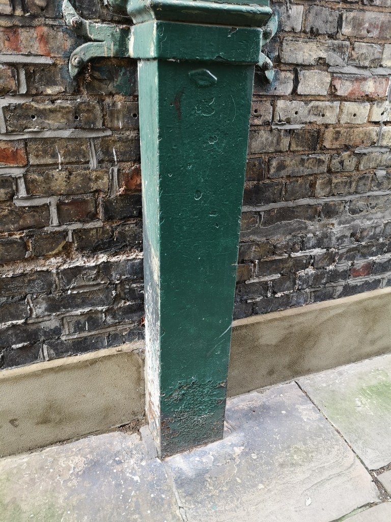
This grassy route continued right up until Turnpike Lane (the road, not the station) and included this little building, which I think might be a pump station of some kind? Let me know in the comments if you know what this is!


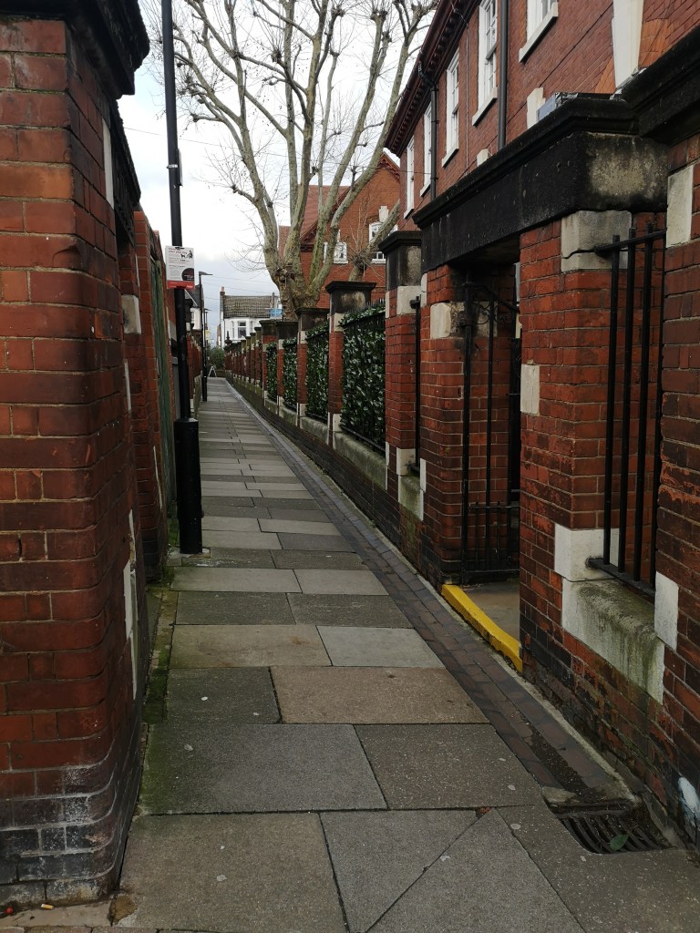
At this point the New River path ends, as it continues under Turnpike Lane and Hornsey Train Station. To rejoin it, I turned left out of the gate down to the big junction where Turnpike Lane meets Hornsey Park Road and Wightman Road. I then crossed to Wightman Road, and continued up to Hampden Road, as if going to Hornsey Station. Just before the station steps (the station is situated on a bridge, as many of the stations on this route are) there is a gate on the left hand side of Hampden Road, and the New River Path begins again. This is a section I am very familiar with, living on the Harringay Ladder, and it has been a frequent lockdown walk of mine! It also contains this instructing structure, which again, if anyone can tell me what this is, I’d love to know!

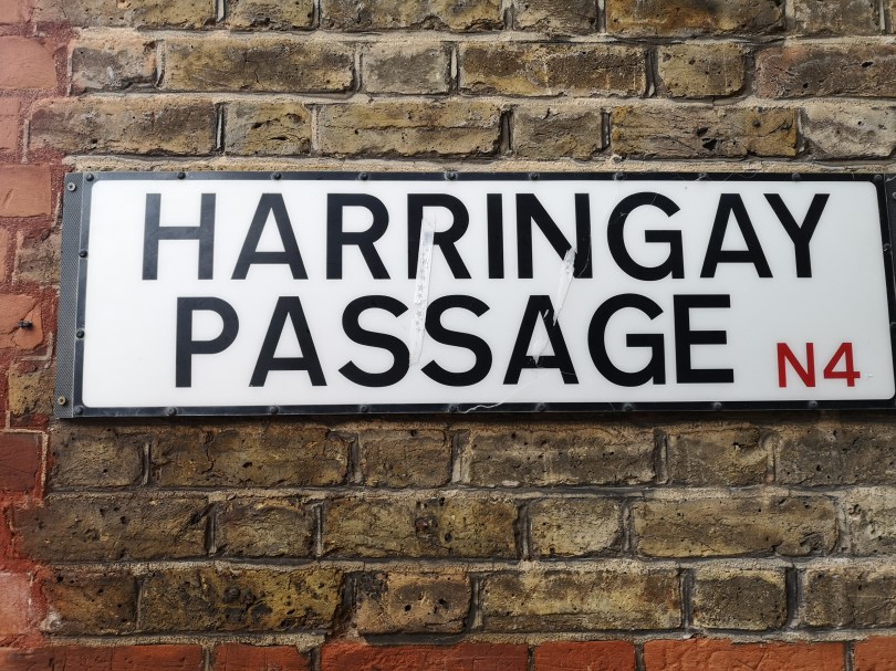
At the end of this section the path crosses to the opposite side of the river and onto Wightman Road, and the New River continues underground before reappearing through the Harringay Ladder itself. However, at this point, I follow Allison Road as far as the Harringay Passage and continue home.
And so concludes my post on the New River! Have you ever walked a section? Have you ever walked the entire length? What’s your favourite section? What are the structures I found on my exploration? Let me know in the comments!
Sources:
https://www.londongardenstrust.org/features/NewRiver.htm
https://www.thehistoryoflondon.co.uk/the-new-river-bringing-fresh-water-to-london/
https://en.wikipedia.org/wiki/Woodberry_Wetlands
https://en.wikipedia.org/wiki/New_River_Head
https://en.wikipedia.org/wiki/New_River_(London)